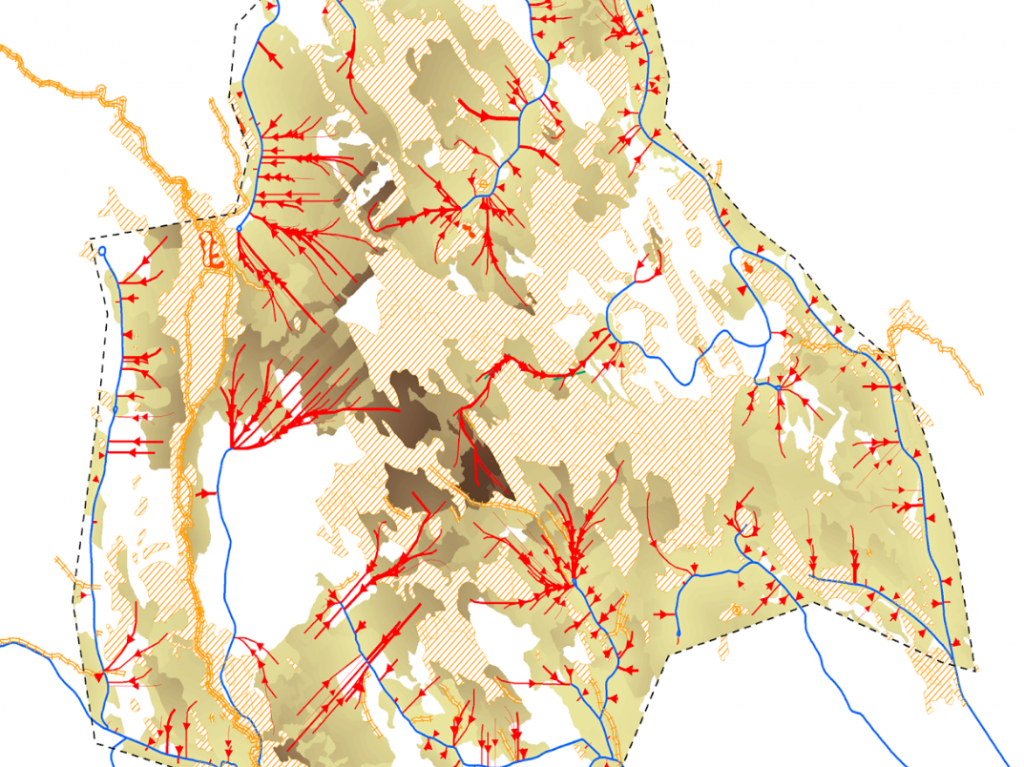
Dianthus samplanering – a service for Effective planning between forestry and reindeer husbandry
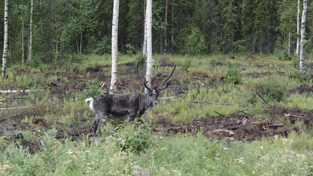
In the forest, a wide range of interests meet, such as forestry, outdoor life, tourism and reindeer husbandry. All have different purposes and goals but must coexist with others because the respective activities affect the others. One of the success factors for functioning and parallel operations is the opportunity to take part in each other’s […]