XStream
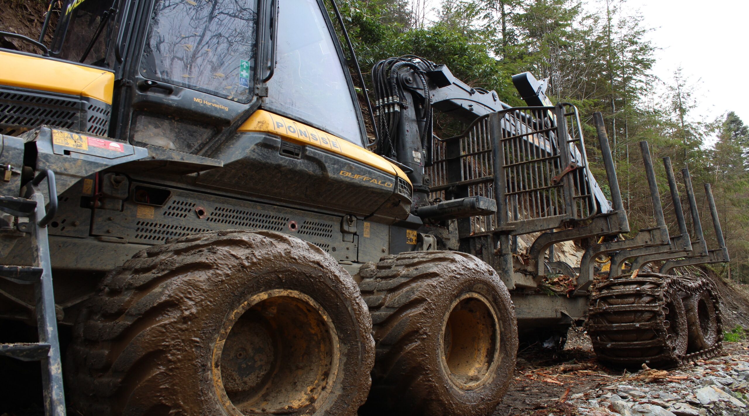
Timber flows in forests and on roads
Transporting the forest’s valuable raw materials from the forest to the industry requires careful planning and execution to minimize direct and future costs, production losses, and environmental impact. Dianthus XStream, Xylem Stream, is our collection of software and services that help you and your organization effectively succeed in doing just that.
Terrain Transport Calculation
Operational software at the district, regional, or administrative level that
- Identifies areas with large amounts of timber and high terrain transport costs.
- Calculates profitability for different road proposals.
- Ranks road proposals based on profitability to easily and structurally budget road investments at the company or administrative level.
Road Bearing Capacity Calculation
Operational software at the district, regional, or administrative level that
- Identifies areas where there is timber that can be transported during other seasons due to increased bearing capacity/accessibility on individual forest roads, i.e. areas where we waste terrain bearing capacity during decay periods.
- Calculates the cost of the timber made available after increased bearing capacity.
- Ranks road bearing capacity improvements based on which measures provide the most timber per invested dollar, in order to easily and structurally budget bearing capacity-enhancing investments at the company or administrative level.
Road Analysis
Analysis service at county level that allows to
- Compile long-term, periodic transport needs in order to forecast and prioritize long-term road investments at a strategic level.
- Automatically find new profitable forest roads for direct use at the operational and tactical level.
- Minimize costly and environmentally damaging off-road hauling.
- Use discovered proposals for new profitable forest roads in conjunction with our Terrain Transport Calculation software to plan the future road’s physical layout in the terrain in a detailed manner.
Timber Flow Analysis
Analysis service at county level that allows to
- Compile and visualize long-term, periodic timber transport flows in the individual road network up to public roads.
- Identify bottlenecks in the private road network in detail, with regard to, for example, bridges and poor road bearing capacity.
- Prioritize where investments in the existing private road network should be made to maintain transport flows to the industry during all seasons.
Forwarding Optimization
Standalone software or SaaS service for fully automatic
- Finding main routes and primary corridors in selective cutting, thinning, and regeneration logging areas.
- Calculating average skidding distance and other parameters for removal and other compensation-based and logistic support performance calculations.
- Determining which landings should be used to minimize terrain transportation.
- Advantageously used in conjunction with our Fully Automatic Landing Mapping.
Landing Mapping
Analysis service for fully automatic and comprehensive mapping of timber landings along roads. Dianthus has been inspired by and further developed the methodology created by Skogforsk to guide the user, based on high-resolution terrain models, existing road networks, and restriction layers, on where it is appropriate to place landings. Dianthus’ further development involves taking into account slopes and curves along the road. The extremely fast mapping (4 weeks of calculation time for all of Sweden’s roads) produces geographical layers with areas that
- Are entirely suitable for landings.
- Are likely suitable after field inspection or some form of intervention, such as excavating a landing shelf.
- Are completely unsuitable due to, for example, traffic safety reasons (obstructing inner curves, etc.), restrictions, or direct physical barriers.