Dianthus GeoGPS™
Smooth data transfer to and from your GPS
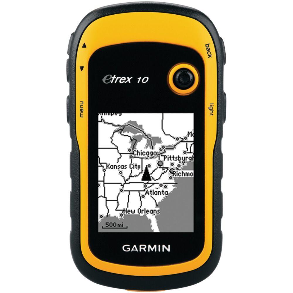
Dianthus GeoGPS is an application that makes it very easy to transfer data back and forth between your Garmin GPS receiver and your computer.
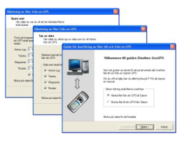
The program is structured as a so-called Guide or Wizard that, with the help of clear texts, leads the user through the settings and choices that must be made. The points and tracks to be written to the GPS receiver are read from ESRI Shape files and the points and tracks retrieved from the GPS receiver can be saved as ESRI Shape or MapInfo MIF files.
For example, GeoGPS can be used to display department figures in the GPS receiver’s map.
With the help of Dianthus GeoGPS, you then transfer departmental polygons from a Shape file to the GPS receiver.
The department figures are saved on the GPS receiver as tracks and can then be displayed in the map image.

Technical specification
Function
GeoGPS is used to read files in ESRI Shape format and send these to a GPS receiver as waypoints, tracks or routes.
GeoGPS can also be used to retrieve waypoints, tracks and routes from a GPS receiver and then save these to the computer as ESRI Shape or MapInfo MIF files.

Connection
GeoGPS automatically looks up the GPS receiver.
Naming
When sending waypoints and tracks to the GPS receiver, you can choose which field in the attribute file the names should be retrieved from. If the same name exists for more than one geometry, GeoGPS automatically adds a sequential number at the end. One can also choose to name waypoints and tracks with any prefix and serial number.
Generalization
Most GPS models can only receive 500 points per track. It is therefore possible to choose that GeoGPS generalizes the polygons sent to the GPS receiver so that they contain a maximum of 500 points.
It is also possible to generalize the tracks you retrieve from the GPS receiver before they are saved on the computer.
Preferences
For the convenience of the user, GeoGPS automatically saves all paths and settings to the next program run.
Map projections
GeoGPS is capable of handling data in the RT90 2.5 gon W 0:-15 and SWEREF 99 TM map projections.
System
The Dianthus GeoGPS software works on computers running Windows 2000, Windows 2003, Windows XP, Windows Vista and Windows 7.
GeoGPS works with the below GPS models from Garmin
- GPS 12XL
- eTrex Venture
- eTrex Venture Cx
- GPSmap 60, 62 and 76
- Colorado 300
- Zümo
- Dakota
- Oregon 450, 500 and 550
There are more GPS models from Garmin that work with GeoGPS, but only the above models are those that are fully tested by Dianthus.
Communication interfaces
GeoGPS works for serial port COM1 to COM9 and with USB.
File formats
GeoGPS can read files in ESRI Shape format and write files in ESRI Shape or MapInfo MIF format.
